From the great volunteer group comes a Drone Show for the holiday.
WHAT TO EXPECT AT THE DRONE SHOW over Lake Diane as we celebrate our country’s 250th birthday!
Duration: 15-20 minutes
Start: ~10:00pm
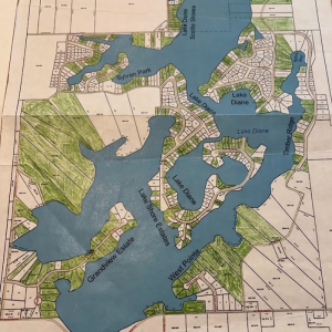
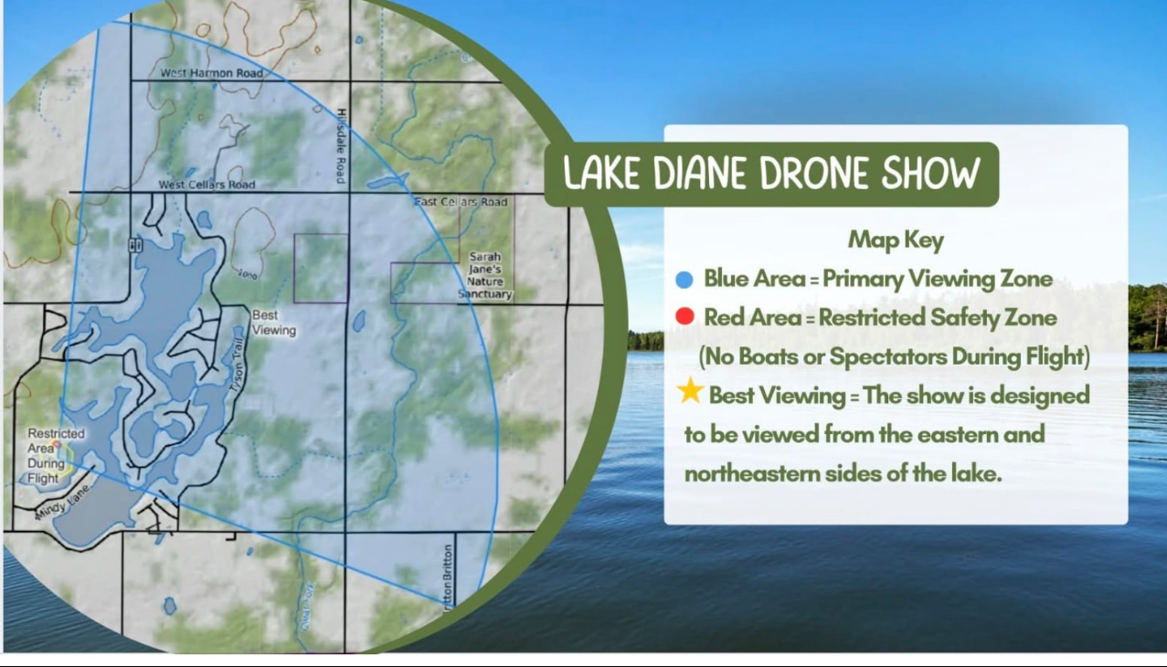
Viewing: Northern 3/4 of Lake Diane waters and land (see blowup map of viewing area)
Restrictions: The waters between Woodbridge Road and Mindy Lane and the end of the Mindy Lane Peninsula will be shut down to boat traffic. See Map
The launch and show flight area will have a NO BOATS
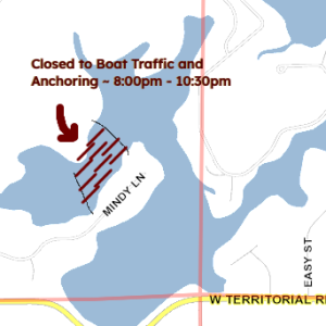
Closed Waterway 8-~10:30
section that will be marked with water buoys. Stay out or else the show will be shut down.
Hundreds of illuminated drones will fly in coordinated formations and create images, animations, and effects synchronized to music in the night sky. The show is best viewed from the designated viewing areas shown on the event map. Drone shows are generally quieter than fireworks, though you’ll hear some buzzing from the drones and any accompanying music or narration. The performance lasts about 15-20 minutes. For safety, drones will remain within a restricted flight area. Please do not enter closed or barricaded zones. Personal drones are prohibited during the event for safety reasons. Cameras and phones are welcome. Night mode can help capture better photos and videos. The drone show is weather dependent. Any schedule updates will be posted on social media.