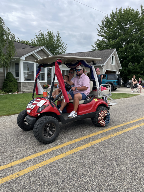
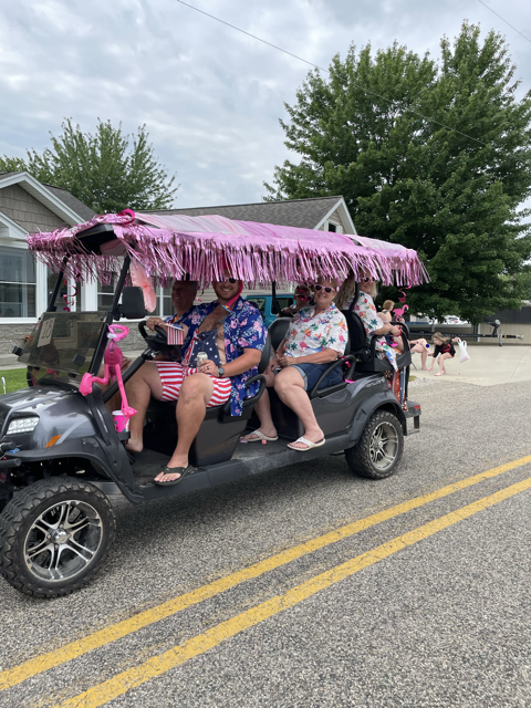
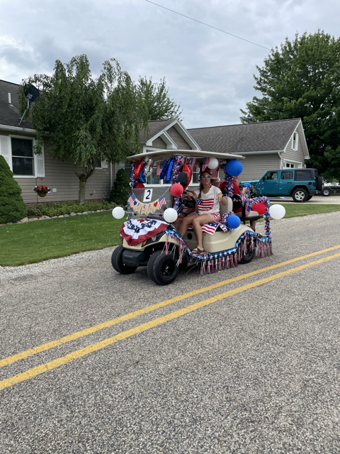
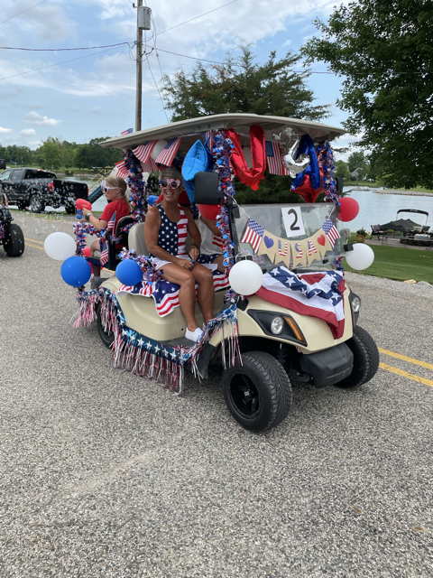
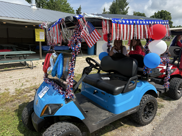
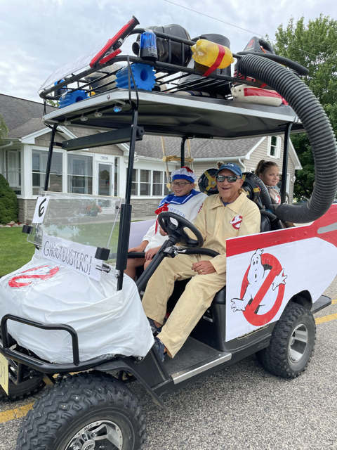
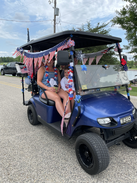
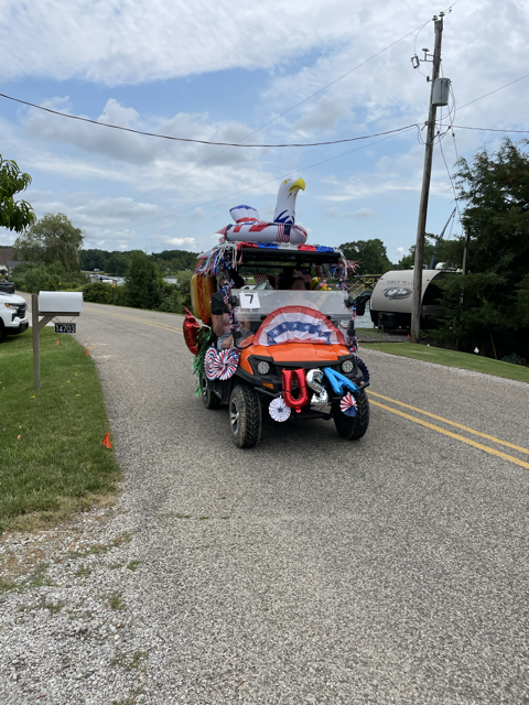
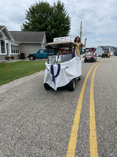
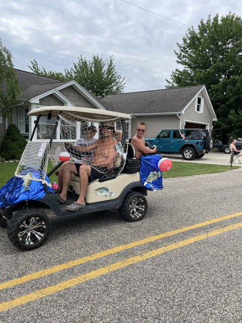
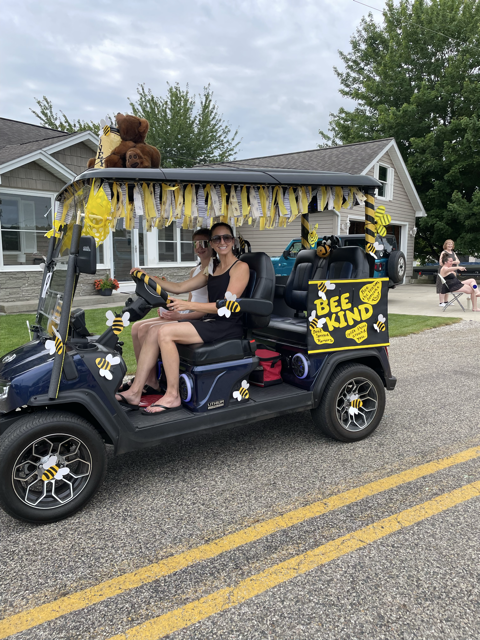
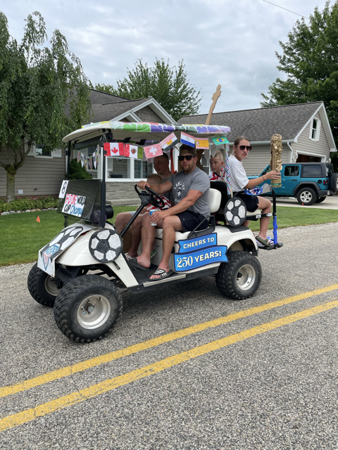
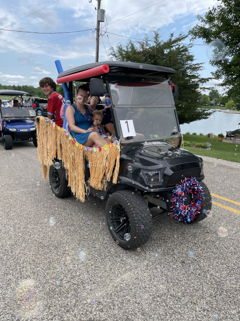
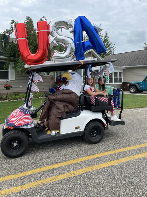
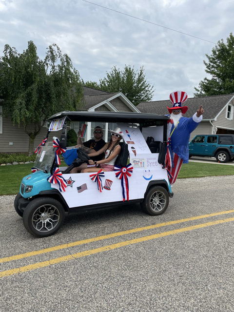
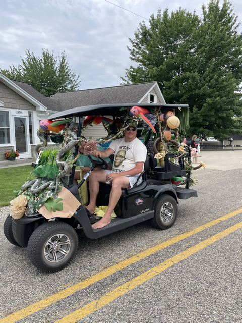
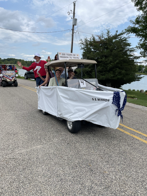
Winners:
| 1st. Place | Cart #6 | Ghostbusters |
| 2nd. Place | Cart #5 | Snoopy |
| 3rd. Place | Cart #9 | Bee Nice |
Thank you to the people who participated in the annual golf car parade, and looking forward to next year
-volunteer sponsors
| 1st. Place | Cart #6 | Ghostbusters |
| 2nd. Place | Cart #5 | Snoopy |
| 3rd. Place | Cart #9 | Bee Nice |
Thank you to the people who participated in the annual golf car parade, and looking forward to next year
-volunteer sponsors
From the great volunteer group comes a Drone Show for the holiday.
POSTPONED – Show will not occur on July 05
Duration: 15-20 minutes
Start: ~10:00pm
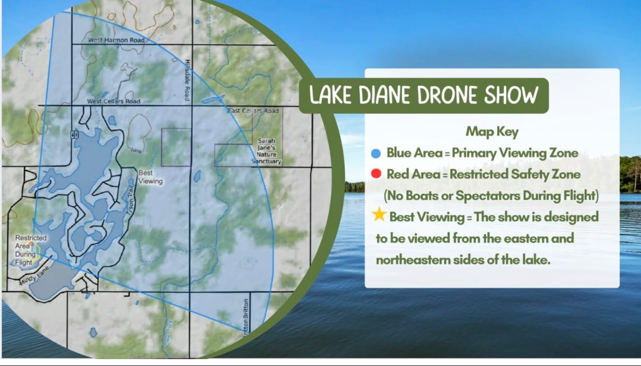
Viewing: Northern 3/4 of Lake Diane waters and land (see blowup map of viewing area)
Restrictions: The waters between Woodbridge Road and Mindy Lane and the end of the Mindy Lane Peninsula will be shut down to boat traffic. See Map
The launch and show flight area will have a NO BOATS
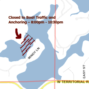
Closed Waterway 8-~10:30
section that will be marked with water buoys. Stay out or else the show will be shut down.
Hundreds of illuminated drones will fly in coordinated formations and create images, animations, and effects synchronized to music in the night sky. The show is best viewed from the designated viewing areas shown on the event map. Drone shows are generally quieter than fireworks, though you’ll hear some buzzing from the drones and any accompanying music or narration. The performance lasts about 15-20 minutes. For safety, drones will remain within a restricted flight area. Please do not enter closed or barricaded zones. Personal drones are prohibited during the event for safety reasons. Cameras and phones are welcome. Night mode can help capture better photos and videos. The drone show is weather dependent. Any schedule updates will be posted on social media.
Below are the official meeting minutes from the 2025 annual meeting that were approved at the 2026 annual meeting in June. 6-7-25 Annual meeting
rescheduled from June 17th – weather permitting
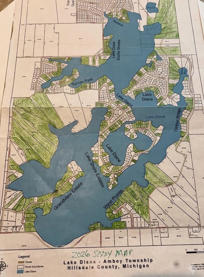
Flag placement will not be accurate to the lot lines of your property. Treatment is done via GPS navitgation. Flags are also placed in regions to be treated and regions to not be treated. For example, 10 lots in a row may only have two flags. Moving the flags will not cause a change in treatment as it is only used to help orient the navigators and not the GPS location of treatment. If you observe a section is grossly incorrectly treated (ie. an entire area is skipped) please notify the LDCA board to have it corrected ASAP while the treatment is happening (i.e within minutes if possible). An example of an error to notify is if there are no signs on your lots or neighbors lots and there is supposed to be a spray and non spray in that area. Do not notify if your lot is missing a sign – check the signs around you to the map as it may be part of a larger region of multiple lots.
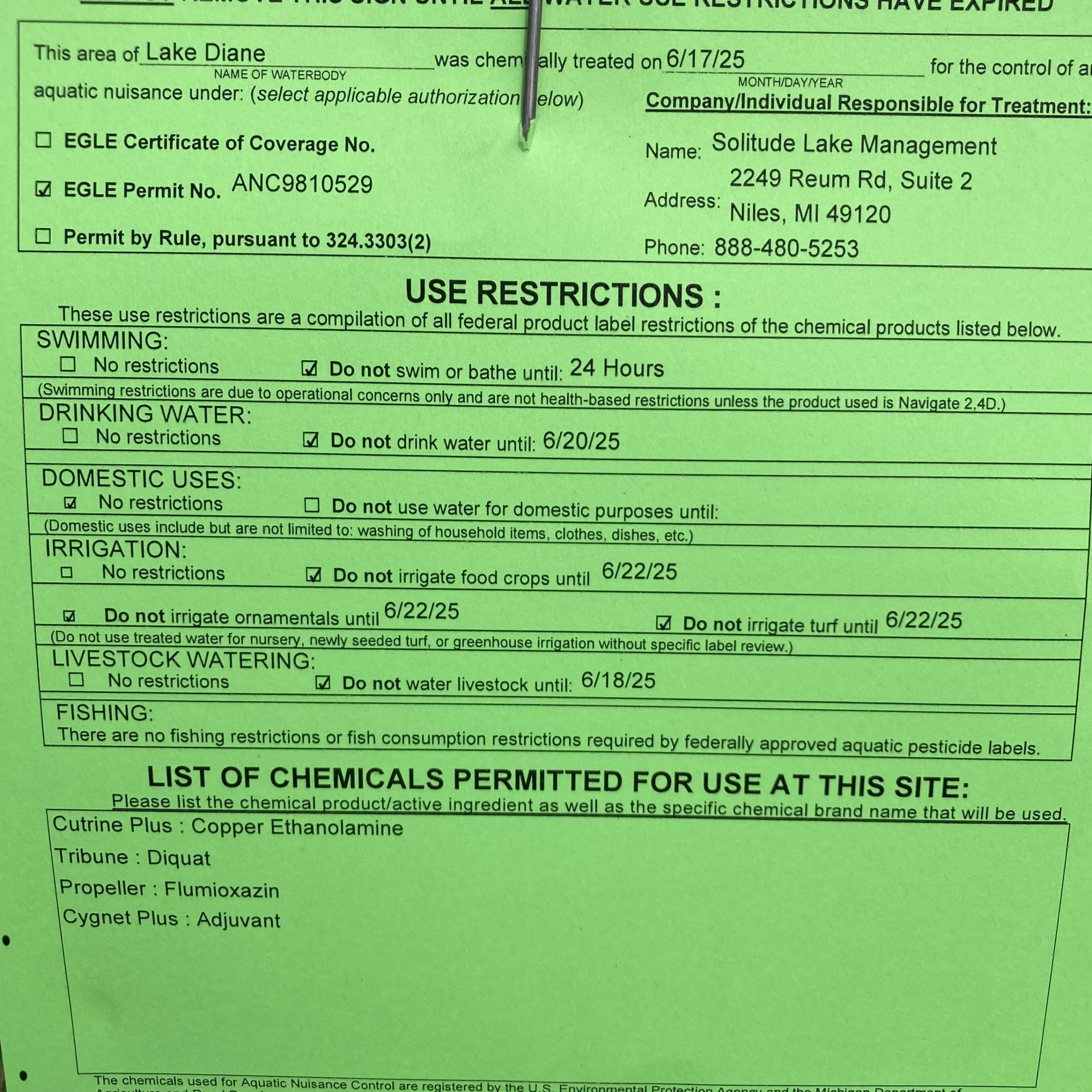
Here is an example flyer from years past.
Please ensure your irrigation systems are turned off Monday and follow the posting on your lawn or check back here or with LDCA for restrictions
The LDCA is happy to announce that the permit and logistics for approval for weed treatment has been granted.
For information about being part of the program next year, please visit Lake, Water Quality, and Weed Management
2026 Spring newsletter PDF file. This was also mailed to every riparian lot owner on Lake Diane.
The water quality report from volunteers in cooperation with LDCA has been published. See the details here.
This year LDCA again obtained an EGLE/DNR permit to inventory and manage the volume of Canada Goose families on the waterways of Lake Diane. Trained members of LDCA and volunteers will be canvassing the shorelines of Lake Diane and adjoining tributaries under permit throughout April.
If you see a nesting pair of Canada Geese (not other water fowl) please notify one of the LDCA board members with the location and when you saw the pair. All activities MUST be inventoried under permit to avoid undue impact to our ecosystem and balance. The goal is to manage the population for proper ecological balance (fecal levels), not eradicate waterfowl.
For information about the permit, intended outcomes, and program in general, please see : https://www.michigan.gov/dnr/managing-resources/wildlife/wildlife-permits/canada-geese-permits
As of 2pm EDT 03/11.2026:
The levels of Lake Diane have risen to 40cm (just under 16″) above the low water level from October 2025.
Levels appear to be rising slowly – some docks and piers and shorelines have been inundated with very minor flooding
Surface temperatures are near 50’F although wind changes can cause uplift and changes
Rainfall over the last five days : upwards of 3.5″ ; 2″ of that was in the last 20hours
Please note the board will not meet in February due to quorum. March’s meeting will be at the TTT at 9am on March 14.